NEW Big Green Map with Photo
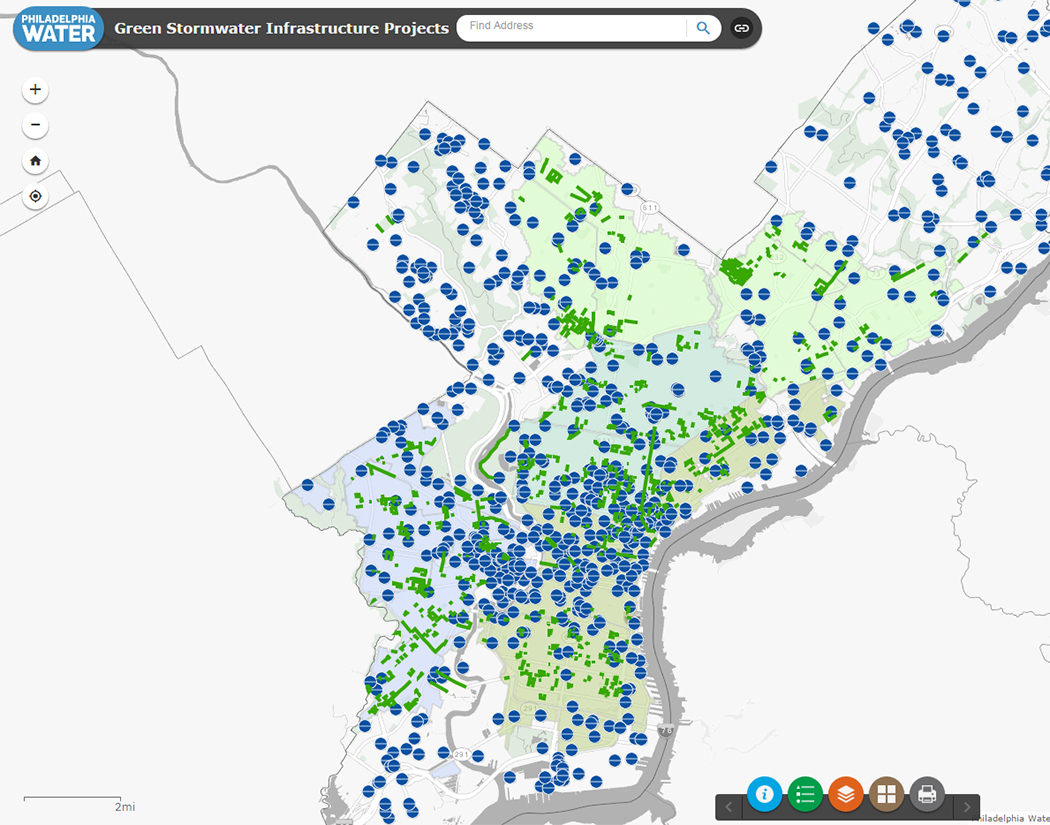 |
New Big Green Map Captures Scale of Philly's Growing Green Infrastructure Network The latest version of Philadelphia Water's Big Green Map is one of the best places to explore the vast network of Green Stormwater Infrastructure in Philadelphia today. This new, interactive map shows green tools created at both public and private sites and lists the thousands of individual GSI systems found at hundreds of locations across the city. Use the Big Green Map today to find green tools like porous paving, stormwater tree trenches and rain gardens in your neighborhood or set up your very own GSI tour! |