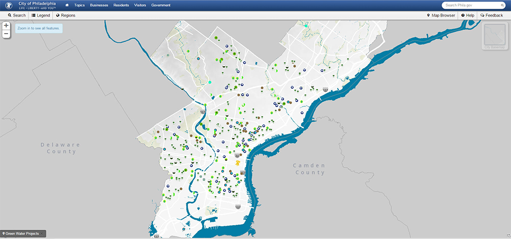
This map, viewable on the City of Philadelphia's website, shows green infrastructure locations and was made using similar data sets.
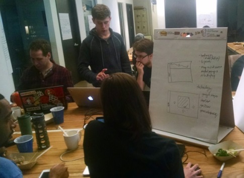
In anticipation of Code for Philly's Oct. 16-18 “Apps for Philly Sustainability” meet-up, Philadelphia Water and other City agencies released tons of data for the super-tech savvy crowd to tinker with.
Our hope is this creative community of app-building enthusiasts will come up with new tools that help Philadelphia understand and appreciate, among other things, the breadth of green infrastructure projects being designed and implemented through the Green City, Clean Waters program.
Using the data we’ve collected and shared, they can conceive fun and engaging ways for people explore things like green infrastructure locations, how much rain is falling in different parts of the city, and how the topic of customer phone calls varies from neighborhood to neighborhood.
PhillyInnovates, a blog by the City's Managing Director’s Office, just published this helpful list of the data sets Philadelphia Water released today: